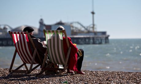
Central London, north Norfolk, parts of Suffolk, and Brighton and Hove are the healthiest places to live in England and Wales, according to 25 years of data matching environmental hazards and diseases to geographical location.
The health atlas, published in print and online, allows anybody to enter their postcode and look at the risks and health outcomes in their neighbourhood.
The data has been collected at ward level – neighbourhoods of around 6,000 people. Among them, 33 have a consistent pattern of lower than average risks to health, while eight have higher risks: Porthcawl East Central and Newton, both in Bridgend, Bucklow and Flixton, both in Trafford, Tranmere in Wirral, Church Village in Rhondda Cynon Taff, City and Holbeck in Leeds, and Princess in Knowsley.
The information has been collected and analysed by the UK small area health statistics unit based at Imperial College London, which was set up by the government in 1987 to investigate clusters of cancer cases around the Windscale nuclear plant, later renamed Sellafield. It found no link to nuclear emissions.
Their work has since included investigations into concerns about mobile phone base stations, which were also not found to be linked to increased rates of cancer in neighbourhoods.
Maps of England and Wales in the atlas show concentrations of agricultural pesticides, air pollution and chlorination disinfection byproducts from the decontamination of drinking water. In the print version, there are also maps of radon emissions and sunshine levels. Other environmental hazards may follow if the researchers can obtain the detailed ward-level data.
Fourteen diseases are also mapped and some show distinct concentrations in certain regions – for instance, skin cancer is higher in the south-west, which has higher levels of sunshine.
There is also a high concentration of liver cancer in north-east England and parts of south Wales, and for men in London and parts of Hampshire and Dorset.
"We think part of that may be due to registration factors," said Professor Paul Elliott, director of the unit. Cancer registries are the source of data on the disease and may have different ways of measuring its occurrence. Other influences include injecting drug use – a risk for hepatitis C infection, which can cause liver cancer – and excessive alcohol drinking.
"Liver cancer has been on the increase in this century," said Elliott. "We know something about the risk factors but we don't know everything."
The unit hopes that the atlas will be of use to researchers as well as the curious public. Dr Anna Hansell from the unit said that while people can look at the environmental risks that may be higher in their area, they cannot prove a connection to a disease just from the local numbers.
"We have tried very hard in the atlas to emphasise that you can't just make a link," she said. These are also relative risks – by comparison with other places – and not absolute risks and will not give an individual any information about their own chances of getting a particular disease.
Other scientists appreciated the work that had gone into the atlas, although Jon Ayres, professor of environmental and respiratory medicine at Birmingham University, said there should be greater emphasis on the fact that the relationship between a high relative risk and a disease was not causal. "Having said that, there are some associations where the message is clear and correct – for example, air quality and respiratory and cardiovascular outcomes; mesothelioma and asbestos."
The team brushed off suggestions that the atlas could have an effect on local house prices – environmental factors are responsible for only about 5-10% of our health problems. Most of the rest is governed by our lifestyle: smoking, eating and activity levels.

